Açıklama
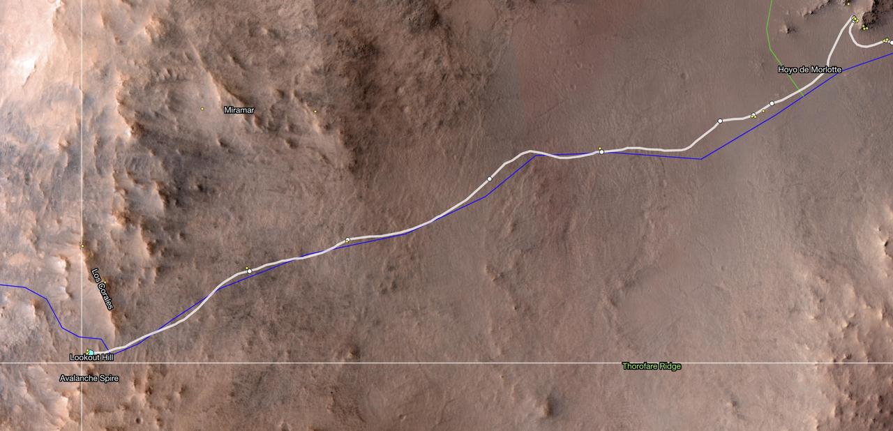
This map shows the location of NASA's Perseverance Mars rover as of Dec. 10, 2024, the 1,354th Martian day, or sol, of the mission, which it reached "Lookout Hill" at the top of Jezero Crater's rim after a monthslong climb. This map was made using data from NASA's Mars Reconnaissance Orbiter's High-Resolution Imaging Science Experiment (HiRISE) camera as well as the European Space Agency's (ESA) High Resolution Stereo Camera (HRSC). The University of Arizona, in Tucson, operates HiRISE, which was built by Ball Aerospace & Technologies Corp., in Boulder, Colorado, NASA's Jet Propulsion Laboratory manages the Mars Reconnaissance Orbiter Project for NASA's Science Mission Directorate, Washingto — NASA JPL · 2024. ABD devlet eseri: kamu mali, ticari islerde de serbestce kullanilabilir.
Kaynak ve lisans
Bu eser kamu malı ya da açık lisanslı. Lisans koşulları kaynağın kendi sayfasında yazılı.
Nasıl açılır?
Ürünü indirmek ya da uygulama içinde okumak için Shopy 101 uygulamasını kullan. Kitaplığına eklediğin her şey tüm cihazlarında aynı kalır.