Açıklama
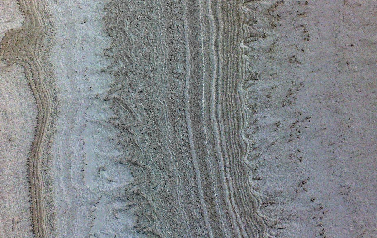
This image taken by NASA's Mars Reconnaissance Orbiter (MRO) shows ice sheets at Mars' south pole. The spacecraft detected clays near this ice; scientists have proposed such clays are the source of radar reflections that have been previously interpreted as liquid water using data from the ESA (European Space Agency) Mars Express orbiter. Flying 186 miles (300 kilometers) above the Martian surface, MRO used its High-Resolution Imaging Science Experiment (HiRISE) camera to study the ice sheets while using its Compact Reconnaissance Imaging Spectrometer (CRISM) to map out clay minerals near the ice. https://photojournal.jpl.nasa.gov/catalog/PIA24763 — NASA JPL · 2021. ABD devlet eseri: kamu mali, ticari islerde de serbestce kullanilabilir.
Kaynak ve lisans
Bu eser kamu malı ya da açık lisanslı. Lisans koşulları kaynağın kendi sayfasında yazılı.
Nasıl açılır?
Ürünü indirmek ya da uygulama içinde okumak için Shopy 101 uygulamasını kullan. Kitaplığına eklediğin her şey tüm cihazlarında aynı kalır.