About
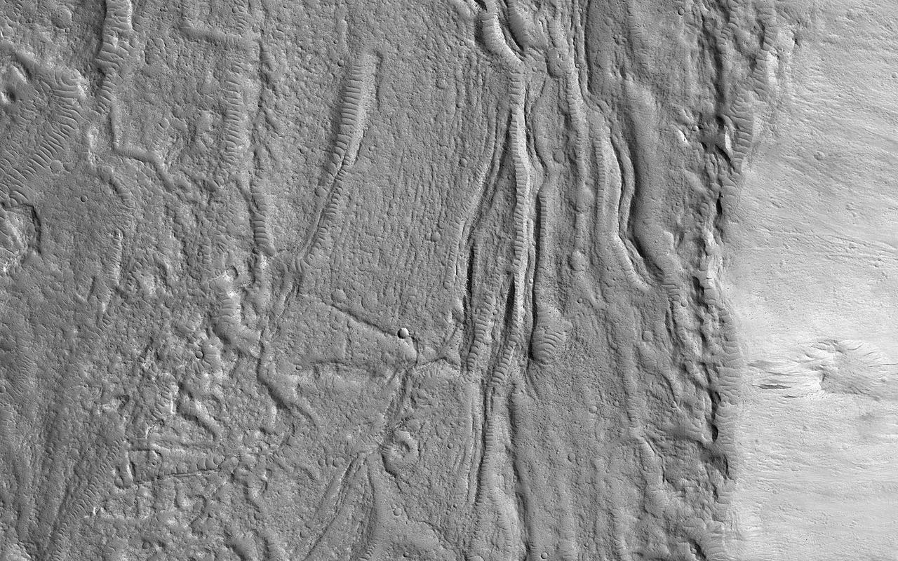
The geologic setting and latitude here suggest this is a glacial (ice-rich) flow, but the surface is broken into plates like many lava flows on Mars. An image was targeted here to get a better look. At the meter-scale resolution of HiRISE, we see a hummocky surface with boulders and craters plus some wind-blown landforms that seems consistent with either the glacial or lava hypothesis. This is a common result: getting a higher-resolution image doesn't necessarily provide more information about large-scale processes, instead providing information about how the surface has been modified. https://photojournal.jpl.nasa.gov/catalog/PIA25794 — NASA JPL · 2023. ABD devlet eseri: kamu mali, ticari islerde de serbestce kullanilabilir.
Source and licence
This work is public domain or openly licensed. The licence terms are published by the source.
How do I open it?
Use the Shopy 101 app to download it or read it in place. Anything you add to your library stays the same on every device.