About
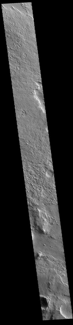
Today's VIS image shows part of Aeolis Planum. The surface in this region has been heavily eroded by wind action. Orbit Number: 87307 Latitude: -0.895655 Longitude: 146.176 Instrument: VIS Captured: 2021-08-20 03:54 https://photojournal.jpl.nasa.gov/catalog/PIA25208 — NASA JPL · 2022. ABD devlet eseri: kamu mali, ticari islerde de serbestce kullanilabilir.
Source and licence
This work is public domain or openly licensed. The licence terms are published by the source.
How do I open it?
Use the Shopy 101 app to download it or read it in place. Anything you add to your library stays the same on every device.