About
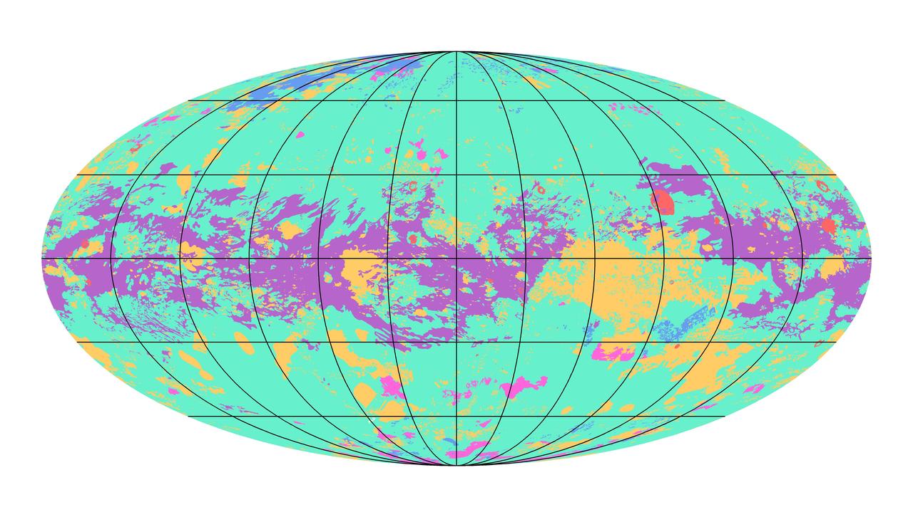
The first global geologic map of Saturn's largest moon, Titan, is based on radar and visible and infrared images from NASA's Cassini mission, which orbited Saturn from 2004 to 2017. Black lines mark 30 degrees of latitude and longitude. Map is in Mollweide projection, a global view that attempts to minimize the size or area distortion, especially at the poles (although shapes are increasingly distorted away from the center of the map). It is centered on 0 degrees latitude, 180 degrees longitude. Map scale is 1:20,000,000. In the annotated figure, the map is labeled with several of the named surface features. Also located is the landing site of the European Space Agency's (ESA) Huygens Probe, — NASA JPL · 2019. ABD devlet eseri: kamu mali, ticari islerde de serbestce kullanilabilir.
How do I open it?
Use the Shopy 101 app to download it or read it in place. Anything you add to your library stays the same on every device.