About
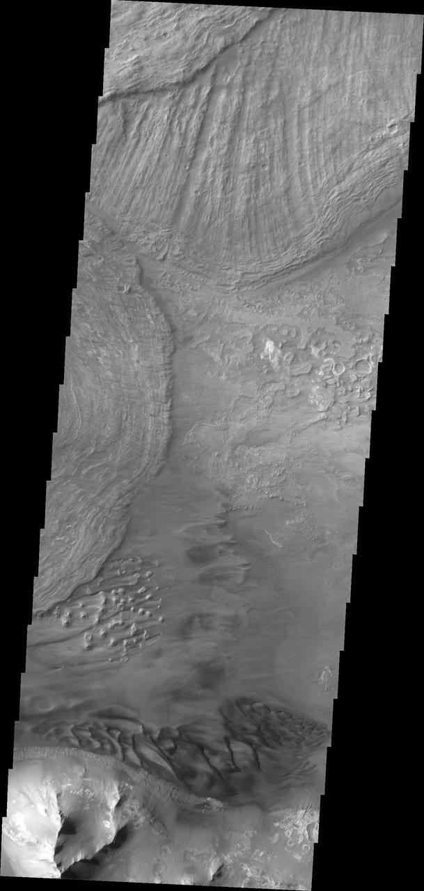
This VIS image shows the eastern end of Ius Chasma. The southern canyon wall is at the bottom of the image, with dark sand and sand dunes. The presence of mobile sand indicates that winds are eroding, depositing and changing the canyon floor. The rest of the image is dominated by large landslide deposits. At the top of the image are two overlapping deposits from landslides originating on the northern chasma wall. The landslide deposit on the left side of the image originate from the southern chasma wall. A landslide is a failure of slope due to gravity. They initiate due to several reasons. A lower layer of poorly cemented/resistant material may have been eroded, undermining the wall above w — NASA JPL · 2018. ABD devlet eseri: kamu mali, ticari islerde de serbestce kullanilabilir.
Source and licence
This work is public domain or openly licensed. The licence terms are published by the source.
How do I open it?
Use the Shopy 101 app to download it or read it in place. Anything you add to your library stays the same on every device.