About
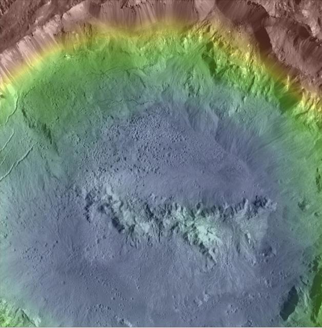
Haulani Crater (21 miles, 34 kilometers in diameter) is one of the youngest craters on Ceres, as evidenced by its sharp rims and bright, bluish material in enhanced color composite images from the framing camera on NASA's Dawn spacecraft. Haulani is also a good example of a polygonal crater. This high-resolution topography map of the crater's floor and northern rim displays a prime example of pitted terrains. Those features were likely formed through the rapid vaporization of subsurface water upon impact, and suggest that there is abundant water in Ceres' crust. Pitted terrains have also been found on Mars and Vesta. This topographic map was produced from the combination of images acquired u — NASA JPL · 2017. ABD devlet eseri: kamu mali, ticari islerde de serbestce kullanilabilir.
Source and licence
This work is public domain or openly licensed. The licence terms are published by the source.
How do I open it?
Use the Shopy 101 app to download it or read it in place. Anything you add to your library stays the same on every device.