About
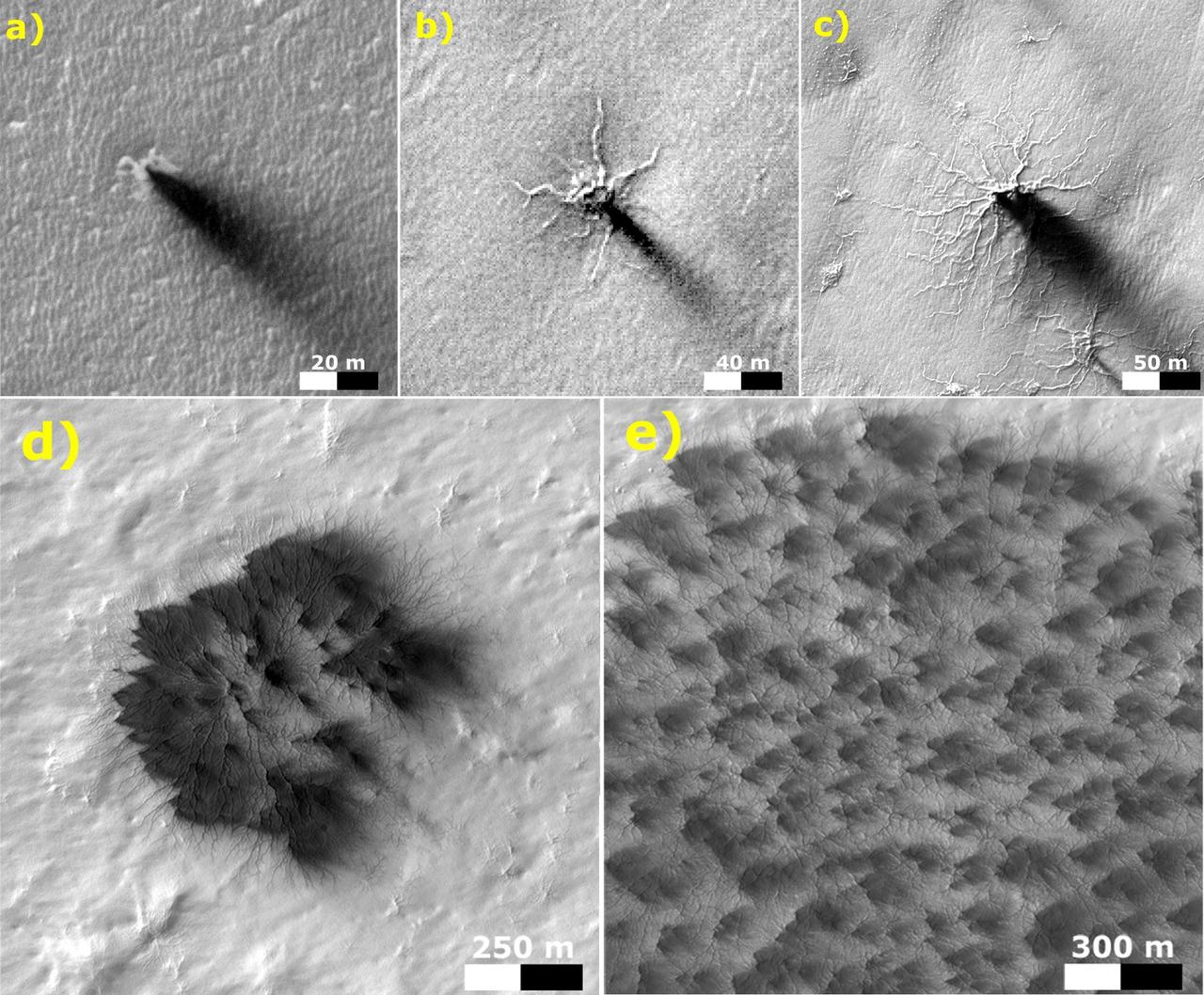
These five images from the High Resolution Imaging Science Experiment (HiRISE) camera on NASA's Mars Reconnaissance Orbiter show different Martian features of progressively greater size and complexity, all thought to result from thawing of seasonal carbon-dioxide ice that covers large areas near Mars' south pole during winter. The sequence illustrates possible stages in development of a type of Martian terrain called "araneiform," from Latin for spider-shaped. They range from a depression with one trough (upper left) to a broad network of "spiders" (lower right). Each image has a scale bar in meters, from 20 meters (66 feet) in the upper-left image to 300 meters (984 feet) in the lower-right — NASA JPL · 2016. ABD devlet eseri: kamu mali, ticari islerde de serbestce kullanilabilir.
Source and licence
This work is public domain or openly licensed. The licence terms are published by the source.
How do I open it?
Use the Shopy 101 app to download it or read it in place. Anything you add to your library stays the same on every device.