About
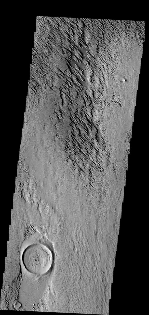
In this image the action of the wind is forming yardangs. The top layer of material is being removed by the wind, revealing an older surface below -- like the crater at the bottom of the frame. Image information: VIS instrument. Latitude 11.2N, Longitude 199.4E. 18 meter/pixel resolution. http://photojournal.jpl.nasa.gov/catalog/PIA01328 — NASA JPL · 2006. ABD devlet eseri: kamu mali, ticari islerde de serbestce kullanilabilir.
Source and licence
This work is public domain or openly licensed. The licence terms are published by the source.
How do I open it?
Use the Shopy 101 app to download it or read it in place. Anything you add to your library stays the same on every device.